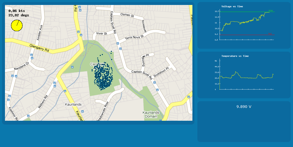
On our forth test flight of the Mark II plane we used the ground station interface from Project EMMA to produce real time GPS coordinates on Google Maps and graphs of voltage, temperature and speed. The data was recorded for over 30 minutes of flying on a particularly windy day which tested Sam’s flying skills.

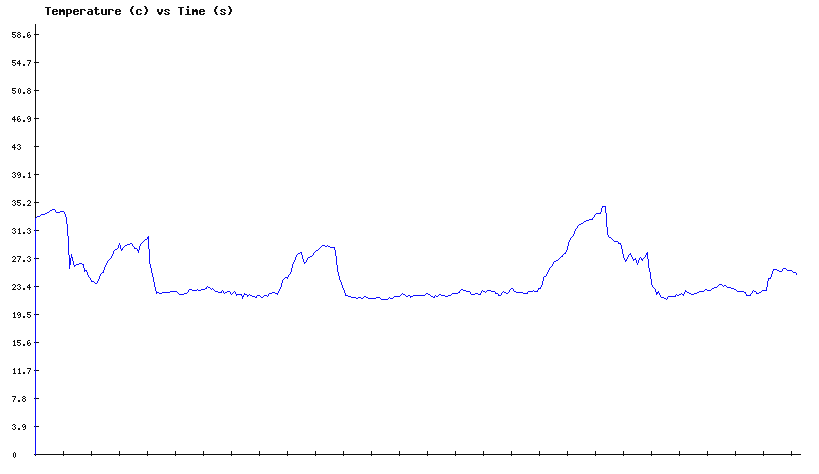
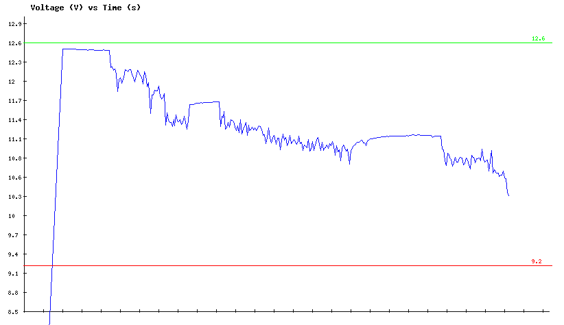
We were able to get a good idea of the battery life. The Voltage dropped from 12.5V to 9.8V over 35 minutes (the minimum voltage is 9.1V). The plane reached a maximum speed of 82 km/h travelling downwind, and we recorded an interesting temperature profile. A constant temperature of around 22 degrees while flying at an altitude between 20m and 50m is seen, while on the ground we measure about 31 degrees. Check out the graphs to the left.

We attained minor damage to the hull due to the plane being hand launched but this is easily fixed. A problem also occurred with the EMMA web interface crashing at the 20min mark, meaning we could no longer see the map and graphs. Thankfully the data was still being logged. We suspect this problem was caused by the page displaying and processing too much information from the database or possibly a caching problem with Google Chrome. Regardless, we still gained a lot of useful data and the next flight is sure to be much more streamed-lined.

We now aim to start programming the auto pilot system. Check the forum pages for information on the specific hardware and software we plan to use.
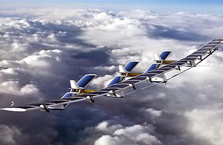
MARK III Update: Construction of the next prototype plane is still being planned with specific building materials being the main focus of discussion. Every test flight of the Mark II and tests of the electronic systems brings us closer. The Mark III will be much larger, controlled by autopilot and reach an altitude of 10km with a 5kg payload.

